Under a calm November sky, residents of Riverton, Wyoming, woke up to a peaceful morning filled with starlight and still air. But according to forecasters, this tranquil weather will soon give way to a colder and unsettled pattern as a system moves in from the west.
The coming days will bring a dramatic change, ending the pleasant warmth and introducing the first hints of winter across the Wind River Valley.
Warm Days Continue Before the Change
The National Weather Service in Riverton reports that Thursday will feature bright sunshine and mild conditions, with temperatures peaking around 66°F (19°C). Friday is expected to be even warmer, reaching 68°F (20°C), accompanied by breezy winds up to 25 mph across Fremont County.
A ridge of high pressure currently dominates central Wyoming, keeping skies clear and temperatures above normal. However, this ridge will start to weaken by Saturday, allowing cooler northern air to move in. As the pressure drops, cloud cover will gradually increase, signaling the start of a weather shift.
Cooler Weekend and Early Winter Preview
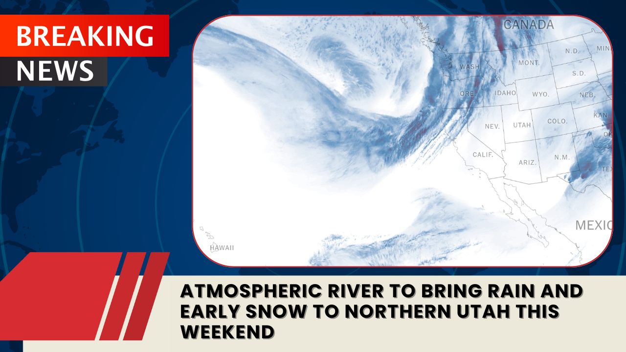
By late Sunday, moisture from the Pacific Northwest is forecast to arrive in western Wyoming, bringing a chance of light rain. As temperatures dip into the upper 20s°F (-2°C to -3°C) early Monday morning, rain may mix with snow, marking an early “winter tease” for Riverton and nearby areas.
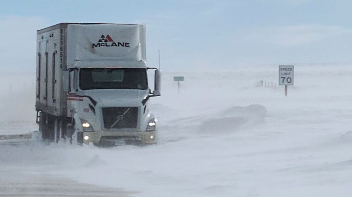
Snow accumulation in town is expected to be less than an inch, but higher elevations—such as South Pass and the Wind River Range—could see slick, snow-covered roads. Drivers traveling along U.S. Highway 26 and WY-789 are advised to monitor changing road conditions from Sunday night through Monday morning.
This transition will bring a sharp temperature drop, with highs falling from nearly 70°F (21°C) on Friday to the low 40s°F (4–6°C) by Tuesday. The sudden cooldown will remind residents that winter is just around the corner.
Effects of the Recent Solar Storm
Adding to this week’s natural phenomena, remnants of the rare G4 solar storm that illuminated Wyoming’s night skies earlier in the week could still cause minor GPS disruptions.
While most systems are stable, meteorologists caution that brief interference could occur through Thursday morning.
Five-Day Forecast for Riverton, WY
| Day | High / Low | Conditions |
|---|---|---|
| Thursday | 66°F / 37°F | Sunny and calm — mild fall day |
| Friday | 68°F / 34°F | Breezy and warm — gusts up to 25 mph |
| Saturday | 60°F / 28°F | Sunny with a cooler breeze |
| Sunday | 54°F / 31°F | Clouds increasing — slight rain chance late |
| Monday | 52°F / 28°F | Rain and snow showers possible — colder pattern sets in |
The Wind River Valley is wrapping up its pleasant autumn warmth with a dramatic shift ahead. As cooler air pushes in from the north and Pacific moisture arrives, light snow and colder temperatures will give Riverton its first taste of winter.
Drivers and residents should prepare for a sharp temperature drop and potentially slick roads early next week. Meanwhile, any remaining effects from the recent solar storm may briefly disrupt GPS systems, reminding Wyomingites that both earthly and cosmic weather can shape daily life.