SALT LAKE CITY — Utah’s slow snow season is part of a much larger regional pattern unfolding across the western United States. New data shows that snowpack levels are below average to far below average in many major basins, making this one of the weakest early snow seasons in recent history.
According to a new report from the National Integrated Drought Information System (NIDIS) — a federal, multi-agency program that monitors drought risk — satellite records reveal that snow cover across the West is at its lowest level for early December since tracking began in 2001.
NIDIS confirmed that much of the region is experiencing a snow drought, largely due to unseasonably warm temperatures that caused precipitation to fall as rain instead of snow.
Snow Coverage at Historic Lows
Satellite imagery from the Moderate Resolution Imaging Spectroradiometer (MODIS) shows that snow covered just 90,646 square miles of the western U.S. at the beginning of this week. That figure represents nearly one-third of the typical median snow coverage for December 7.
Snow coverage has continued to decline as persistent high-pressure systems dominate weather patterns across much of the West, limiting opportunities for snowfall.
Why Utah’s Snowpack Is Struggling
Warm Storms and Missing Cold Air
Utah’s low snowpack can be traced to two major atmospheric factors, according to Sam Webber, a meteorologist with the National Weather Service in Salt Lake City.
First, Utah received significant moisture in October, but most of it came from warmer storm systems, including atmospheric rivers that pulled subtropical moisture into the region. These systems delivered rain instead of snow, except at the highest elevations.
Second, the region has lacked a crucial ingredient: cold air from western Canada.
Without a sustained pool of cold air to the north, snow-producing storms have struggled to reach northern Utah.
Dry and Warm Conditions Persist
Since October, weather patterns have remained mostly warm and dry, with recurring high-pressure systems suppressing snowfall opportunities.
- Southern Utah experienced one notable storm before Thanksgiving, but it largely bypassed the north.
- Northern Utah saw a significant mountain storm last week, while southern regions missed out entirely.
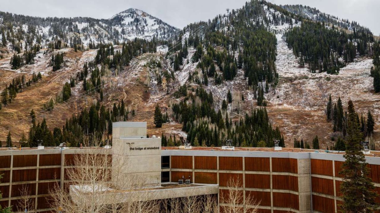
As a result, Utah’s statewide snowpack currently sits at 64% of its median average, with some river basins falling below 50% of normal — despite the state receiving 107% of its normal precipitation overall.
A West-Wide Snow Drought
Utah’s situation mirrors conditions across much of the West. Since the water year began in October, cold air masses have remained unusually distant, concentrated near Siberia to the west and Hudson Bay to the east.
Although the Pacific Northwest and Northern Rockies saw multiple storms during Utah’s dry stretch, those systems were also too warm to generate widespread snow at lower elevations.
As a result, precipitation levels are near or above normal across many western regions, yet snowpack remains historically low.
NIDIS summarized the situation clearly:
Warmer-than-normal temperatures caused precipitation to fall as rain instead of snow, creating snow drought conditions despite wet weather.
Regions Hit Hardest by Low Snowpack
Several key mountain ranges are experiencing especially severe deficits, with snowpack below 30% of median levels, including:
- California’s Sierra Nevada
- Oregon’s Blue Mountains
- The Cascade Range between Oregon and Washington
- Nevada’s Great Basin
Some mountain areas in Oregon entered the week with no measurable snowpack at all.
Notable Exceptions
There are a few bright spots. Parts of Montana, particularly within the Northern Rockies, are approaching nearly double their normal snowpack, making them among the strongest performers in the region.
Why Snowpack Matters So Much
Snowpack supplies more than 50% of the West’s annual water resources, according to the University of Colorado, with an even higher dependence in mountainous states like Utah.
Reduced snowpack threatens:
- Water supplies
- Agriculture
- Hydropower
- Ecosystems
- Long-term drought resilience
Can the West Recover This Winter?
Short-Term Outlook
Moisture itself is not currently lacking. This week alone:
- Flood watches and warnings were issued for parts of western Washington and northern Idaho.
- Winter storm warnings blanketed much of Montana.
NIDIS notes that a single well-timed cold storm can dramatically improve snowpack early in the season. This is especially true for Utah, where most snow accumulation typically occurs in January and later.
Long-Range Forecast Signals
The key factor moving forward is whether cold air returns to the northwest edge of North America.
- Long-range climate models suggest below-normal temperatures could develop in the Pacific Northwest and Northern Rockies later in winter.
- Utah still leans slightly toward warmer-than-normal conditions, though mountain snow remains possible.
During La Niña winters, storms often move southward from colder northern regions. If colder air establishes itself to the north, Utah could benefit from increased snowfall — potentially as early as late December, according to Webber.