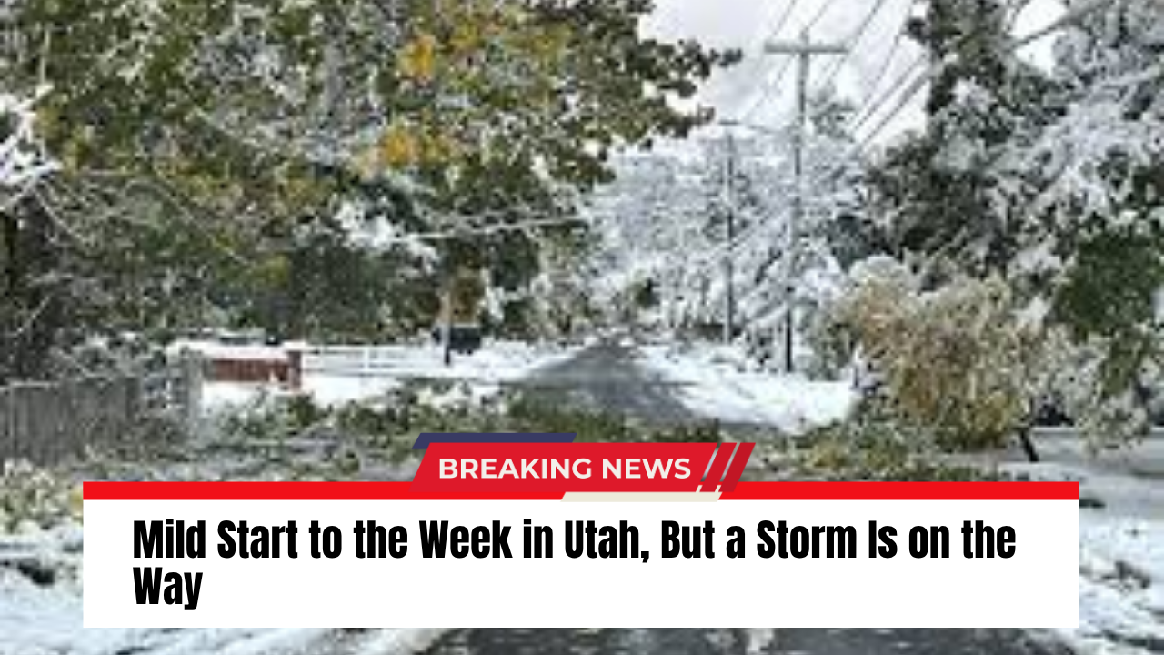
SALT LAKE CITY — Utah is holding onto sunny, mild weather to start the week, but forecasters say big changes are coming by midweek as a cold front heads toward the state.
High pressure is keeping skies mostly clear through Tuesday, with temperatures running 5 to 10 degrees above average across much of Utah. But by Wednesday, expect winds to pick up — particularly across western and southwestern Utah, where southwest gusts could reach 40 to 45 mph ahead of an approaching storm system.
Colder, Wetter Conditions Expected Late Week
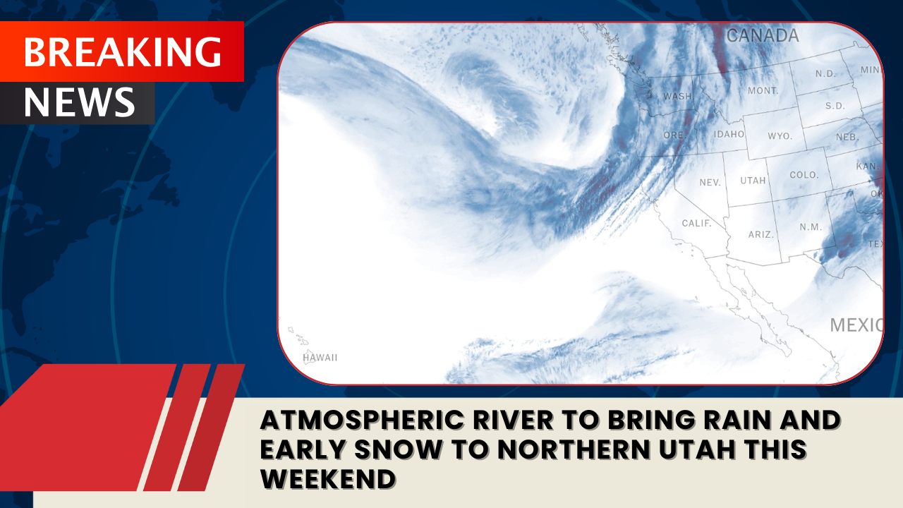
A cold Pacific storm is forecast to arrive Thursday night into Friday, bringing a sharp drop in temperatures and a mix of rain and mountain snow. Meteorologists say the system could weaken as it moves inland but is still expected to deliver much colder air.
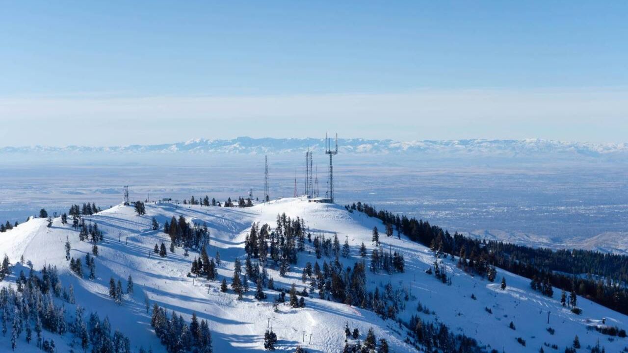
There’s even a chance for snow to reach some valley floors, signaling that winter weather may be closer than it seems.
Forecast at a Glance
Salt Lake City
- Monday: Partly cloudy, high near 60°F.
- Monday Night: Partly cloudy, low in the low 40s.
St. George
- Monday: Sunny and mild, high in the mid-70s.
- Monday Night: Partly cloudy, low in the mid-40s.
For the latest Utah weather alerts and forecasts, visit the National Weather Service – Salt Lake City Office.