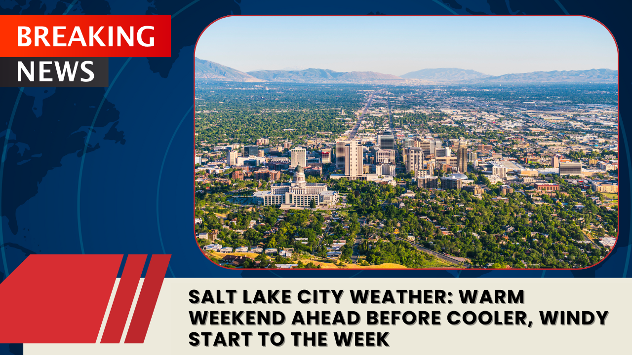
Northern Utah faces its most significant snowfall of the season as meteorologists track a powerful storm system capable of dumping up to two feet of snow across mountain regions. The National Weather Service issued a winter storm watch for the Wasatch and West Uinta mountains starting late Thursday through Saturday evening.
Winter Storm Watch Details and Timeline
The storm arrives Thursday night and continues through at least Friday, with the most intense snowfall expected Friday night into Saturday morning. This marks the first substantial winter weather event for Utah’s mountains after a slower-than-normal start to the season.
An atmospheric river developing in the Pacific Ocean is drawing moisture toward the western coast. As this system moves inland, precipitation ramps up Friday into Friday night and continues into Saturday, with the storm exiting by Sunday.
The jet stream positioning favors northern Utah receiving the full brunt of this system. After pushing storms northward throughout November, the jet stream has shifted to guide moisture directly into the region.
Thursday Night: Initial snow bands arrive in the Wasatch Mountains with light to moderate intensity. Valley areas may see snow initially, with less than an inch expected south of Salt Lake City and up to two inches possible north of the city.
Friday: Continuous mountain snow throughout the day with valley precipitation transitioning from snow to rain as temperatures rise. The system takes a brief pause during midday before intensifying again Friday evening.
Friday Night Through Saturday: The heaviest snowfall period arrives, with near-continuous precipitation in the mountains. This second piece of the storm appears potent, potentially bringing up to two feet of beneficial snow to northern mountains.
Saturday Evening Into Sunday: Mountain snow gradually tapers off with valley precipitation ending first. Some lingering snow showers possible through Sunday morning before clearing.
Expected Snow Accumulation by Region
The winter storm watch outlines significant accumulation potential across Utah’s northern mountains, with totals varying by elevation and specific location.
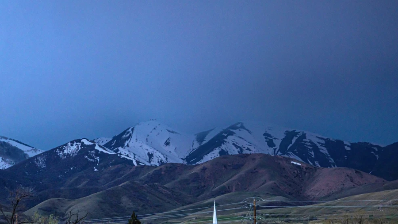
Wasatch Mountains: One to two feet of total accumulation expected by late Saturday. The upper Cottonwood canyons, Bear River Range, and mountains near Ogden could approach 30 inches in the most favored locations.
West Uinta Mountains: Eight to 16 inches of snow forecast for this area, with higher totals in exposed terrain receiving the heaviest bands.
Wasatch Back Communities: Park City, Heber City, and Huntsville may receive two to six inches at city elevations, while surrounding higher terrain could see up to 12 inches.
Wasatch Front Valleys: Salt Lake City and nearby communities face a mix of rain and snow. Total liquid precipitation between half an inch to one inch expected, with most falling as rain rather than accumulating snow.
Snow levels fluctuate throughout the event as warmer air moves through Friday afternoon and evening. Valley locations see the transition from snow to rain limiting accumulation, while mountains maintain cold enough temperatures for continuous snow.
Travel Impacts and Safety Concerns
The National Weather Service warns that travel may become very difficult at times, especially along mountain corridors and during commute periods in the Wasatch Back region.
Friday evening’s commute faces particular challenges as snow intensifies across mountain passes. Interstate 80 through Parley’s Canyon, Highway 189 through Provo Canyon, and routes through Big and Little Cottonwood Canyons all experience hazardous conditions.
Traction laws requiring chains or four-wheel drive with appropriate tires will likely be enforced on mountain passes. The Utah Department of Transportation monitors conditions closely and implements restrictions as needed to maintain safety.
Visibility drops significantly during heavy snow bands, with near-whiteout conditions possible at times. Snowfall rates could reach one to two inches per hour during peak intensity periods.
Drivers planning mountain travel should prepare vehicles with emergency supplies including blankets, food, water, flashlights, and charged phones. Check road conditions before departing and be willing to delay travel if conditions deteriorate.
Allow extra time for all trips and reduce speeds significantly in snow. Even experienced winter drivers face challenges during intense snowfall events like this system promises to deliver.
Benefits for Water Supply and Drought Conditions
While the storm creates travel headaches, it provides crucial benefits for Utah’s water resources and drought situation. Snowpack across northern Utah basins remains below 50 percent of normal for early December, significantly behind typical accumulation.
About 95 percent of Utah’s annual water supply originates as mountain snowpack. The slow seasonal buildup has concerned water managers monitoring reservoir levels after recent drought years reduced storage.
According to the U.S. Drought Monitor, 93 percent of Utah remains in at least moderate drought conditions, with 38 percent experiencing severe or extreme drought. This weekend’s storm won’t eliminate these deficits but represents an important step toward recovery.
Mountain snow melts gradually during spring and early summer, feeding rivers and streams that supply cities, farms, and ecosystems. Early season storms like this build a foundation for later snowpack development throughout winter.
Water content in snow matters more than depth alone. Meteorologists measure Snow Water Equivalent to determine how much liquid water the snowpack contains. Dense, moisture-laden snow from Pacific systems provides excellent SWE compared to light, fluffy snow from drier storms.
Ski Resorts Prepare for Season Kickoff
The timing couldn’t be better for Utah ski resorts beginning winter operations. Several major destinations opened this week, with more scheduled to start operations Friday and into the weekend.
Deer Valley Resort announced a Friday opening, joining Park City Mountain, Snowbasin Resort, Alta Ski Area, and Brighton Resort which all began spinning lifts this week. Solitude Mountain Resort already opened over the weekend.
Earlier storms dropped approximately 12 inches at Alta since Sunday, providing a base for this more significant event. The incoming storm should allow remaining resorts to accelerate opening plans and expand available terrain.
Fresh powder attracts skiers and snowboarders eager to begin the season. However, early season conditions require caution with variable coverage, exposed rocks and obstacles remain hazards until deeper snowpack develops.
Avalanche danger increases with new snow loading on existing layers. Backcountry users must check current avalanche forecasts, carry proper safety equipment, and possess the knowledge to interpret terrain and snowpack stability.
Resort operations staff work around the clock during storms, running snowmaking equipment, grooming runs, and clearing parking areas. The combination of natural snowfall and snowmaking creates optimal conditions for guests.
Understanding Atmospheric Rivers
The meteorological feature driving this storm, an atmospheric river, represents a narrow band of concentrated moisture in the atmosphere. These phenomena transport enormous quantities of water vapor from tropical and subtropical oceans toward higher latitudes.
When atmospheric rivers make landfall, they release moisture as precipitation, often producing significant rainfall in coastal areas and heavy mountain snow in interior regions. The West Coast regularly experiences atmospheric river events, particularly during winter months.
California’s atmospheric rivers grab headlines for flooding potential, but these systems also deliver crucial water resources. Similarly, Utah benefits when systems retain enough cold air and moisture to produce beneficial mountain snowfall.
Not all atmospheric rivers are created equal. Weaker systems bring modest precipitation, while intense events can cause problems. This weekend’s atmospheric river falls into the moderate category, strong enough for substantial mountain snow without extreme impacts.
Scientists increasingly recognize atmospheric rivers’ importance in Western water supplies. Research shows these events contribute 30-50 percent of annual precipitation in some regions, making them vital despite occurring infrequently.
Historical Context for December Snowstorms
December frequently delivers significant snowstorms to Utah’s mountains as winter weather patterns strengthen. The transition from autumn to deep winter allows cold air to penetrate southward more effectively while Pacific moisture remains active.
Utah’s terrain creates unique snow enhancement. Mountains force rising air that cools and releases moisture. The Wasatch Range’s orientation and elevation maximize this effect, producing legendary powder conditions.
The state’s “Greatest Snow on Earth” marketing reflects reality. Alta Ski Area averages over 500 inches annually, with some seasons exceeding 700-900 inches. These totals rank among the highest for any ski resort in the United States.
Variability defines Utah winters, however. Some seasons start fast with November and December storms, while others delay until January or February. The state’s position means small jet stream shifts dramatically impact storm tracks.
Climate patterns including El Niño, La Niña, and neutral conditions influence broader trends but don’t guarantee specific outcomes. Seasonal forecasting remains challenging in Utah due to limited correlation between atmospheric conditions and guaranteed good or bad snow years.
Weather Forecast Beyond the Weekend
Following this system’s departure Sunday, a drier pattern appears likely early next week. High pressure builds over the region, bringing clearer skies and calmer conditions Monday through Wednesday.
Temperatures moderate during the dry spell, with valleys reaching the low to mid-40s and mountains staying in the 20s and 30s. This allows recently fallen snow to settle and stabilize in the mountains.
Longer-range forecasts suggest additional storm potential toward the following weekend, though confidence decreases with extended timeframes. The jet stream pattern appears generally favorable for continued periodic storms through mid-December.
Normal December precipitation for Salt Lake City averages around 1.5 inches, with mountain locations receiving significantly more. If the pattern continues, December 2025 could end near or above normal for moisture.
For skiers and water managers alike, the key lies in consistency. Regular storms throughout winter build deep, stable snowpack that lasts into spring. Single large events help but cannot replace steady accumulation.
Staying Informed and Prepared
Residents and visitors should monitor weather conditions closely as this storm unfolds. Forecasts continue refining as the system approaches, with precipitation amounts and timing subject to adjustment.
The National Weather Service provides regular updates through its website and social media channels. Local news outlets including KSL Weather offer detailed coverage with specific timing for valley and mountain areas.
Road condition information is available through UDOT’s website and mobile apps showing current travel advisories, road closures, and weather station data. Utah Highway Patrol also provides updates on accidents and delays.
Ski resorts maintain their own weather stations and snow reporting. Check individual resort websites for current conditions, terrain status, and any operational changes due to weather.
Emergency preparedness matters during winter weather events. Keep extra food, water, medications, and heating sources available in case of power outages or inability to travel.
Looking Ahead to Winter Season
This storm signals the arrival of more consistent winter weather for Utah after a slow November. December typically accelerates snow accumulation as atmospheric patterns mature into peak winter configuration.
The current Pacific moisture flow favors continued storm activity if the jet stream maintains its current position. Forecasters watch for signs of pattern changes that might shift storms north or south of the state.
While one storm doesn’t make a season, this event provides crucial early snowpack foundation. Subsequent storms build on this base, with each addition improving water supply outlooks and ski conditions.
Utah’s winter recreation economy depends on reliable snowfall. Ski resorts, equipment retailers, hotels, restaurants, and countless other businesses benefit when mountains receive abundant snow.
Beyond recreation and commerce, snowpack determines water availability for agriculture, urban use, and environmental needs. The next six months of accumulation shape water conditions through the following year.
Stay weather aware as Utah enters the heart of winter storm season. This weekend’s system marks an important milestone but represents just the beginning of months of winter weather ahead.