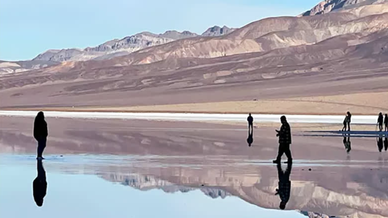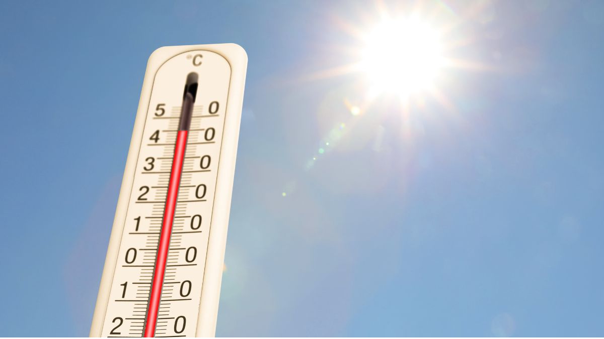
The Western Slope is heading into another unusually warm day, with conditions running nearly 15 degrees hotter than average.
Forecast models suggest sunny skies across the Grand Valley and highs climbing into the upper 60s, making it feel more like early fall than mid-November.
Tonight, expect mostly clear skies, and even though temperatures will cool, overnight lows should linger in the mid to upper 40s, staying well above seasonal norms.
Weekend Changes Begin as Rain Chances Slowly Build
Although most of the region stays warm and dry through Friday, weather experts say conditions will shift as the weekend approaches.
Rain is not expected to reach the valley until Sunday, and there’s a possibility it may hold off until early Monday.
The mountains, however, may see intermittent rain and snow, marking the beginning of a more active weather pattern that will continue into next week.
High Pressure Dominates but a New System Is On the Way
Ridge Continues to Keep the Intermountain West Warm
A broad high-pressure system continues to sit over much of the western U.S., keeping the Intermountain West hot, dry, and stable. This pattern will remain in place for the next day, maintaining warm temperatures and mostly clear skies.
Low Pressure Trough and Atmospheric River Moving In
By the weekend, a low-pressure trough developing over the Pacific will begin pushing east. According to the National Weather Service, a moisture-packed atmospheric river from the West Coast will start flowing into the region as southwesterly winds draw in higher humidity.
Forecast models still show precipitable water levels nearly 200% above normal, a strong sign of incoming moisture. However, rain chances on Friday remain very low.
Looking Ahead: Wetter, Cooler Weather Possible Next Week
Next week has the potential to be noticeably wetter, which may help pull regional temperatures back down to typical November levels.
Current model projections indicate that the San Juan Mountains are most likely to receive significant precipitation, though some of that rain and snow could extend northward toward the Grand Valley.
The Western Slope will enjoy another warm, sunny day, but a significant weather shift is already on the horizon.
With a developing atmospheric river, increasing moisture, and active weather patterns forming, residents should prepare for cooler temperatures and higher chances of rain and snow beginning late this weekend and continuing into next week. Enjoy the warmth while it lasts!