Clear skies and comfortable temperatures greet Salt Lake City residents this Monday morning, but meteorologists advise that changing weather patterns will bring precipitation to northern Utah by midweek. Travelers and commuters should prepare for wet road conditions Wednesday as moisture moves into the region.
The transition from calm, dry weather to scattered showers represents typical early December variability in the Intermountain West. While current conditions remain favorable for outdoor activities and routine travel, the approaching system requires attention from those planning midweek commutes or mountain travel.
Current Conditions and Monday Outlook
The Wasatch Front awakens to tranquil weather conditions with clear skies extending across the Salt Lake Valley. Temperatures hover in the mid-30s during early morning hours, creating crisp but manageable conditions for residents heading to work or school.
Monday’s forecast calls for predominantly sunny skies with afternoon highs reaching the upper 40s to near 50 degrees Fahrenheit. These temperatures run slightly above historical December averages for the region, providing pleasant conditions for the season. Light winds throughout the day will maintain comfortable outdoor conditions without the biting chill that often characterizes Utah winters.
The calm weather pattern makes Monday ideal for outdoor errands, recreation, or any activities requiring favorable conditions. Residents should take advantage of these conditions as the weather window closes Tuesday evening.
Tuesday’s Transition Period
Tuesday begins similarly to Monday with partly cloudy skies and mild temperatures. Afternoon highs will reach approximately 50 degrees, continuing the trend of above-average warmth for early December. Morning lows near 42 degrees represent relatively mild overnight conditions.
However, Tuesday afternoon marks the beginning of weather pattern changes. Moisture from the Pacific begins advancing into northern Utah as a weather system approaches from the west. The National Weather Service indicates a 20 to 30 percent probability of precipitation developing Tuesday evening.
Initial rainfall chances remain relatively low during daylight hours Tuesday, meaning most daytime activities can proceed normally. However, evening commuters may encounter the first scattered showers as the system moves overhead. Precipitation becomes more likely overnight Tuesday into Wednesday morning.
Wednesday’s Wet Weather Concerns
Wednesday presents the most significant weather concerns for the week. Cloudy skies will dominate with scattered showers expected throughout the day. Precipitation probability increases substantially compared to Tuesday, making wet conditions likely rather than possible.
Morning commuters face the highest impact as rainfall combines with temperatures in the upper 30s to low 40s during early hours. While temperatures remain above freezing in valley locations, the combination of moisture and relatively cool conditions creates slick road surfaces.
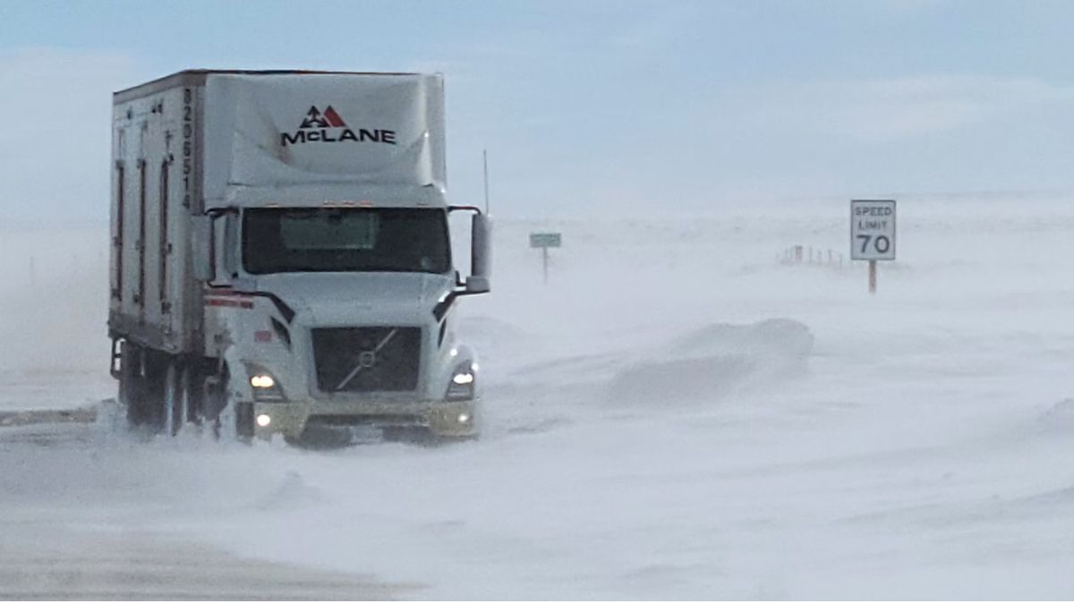
Major transportation corridors including Interstate 15, Interstate 80, and State Route 201 will experience wet pavement conditions. Drivers should allow additional travel time, increase following distances, and exercise caution particularly during morning rush hour when precipitation may be heaviest.
Despite the rainfall, afternoon temperatures will climb to approximately 55 degrees, relatively mild for December. However, the warmth will not eliminate wet road concerns as periodic showers continue throughout the day.
Mountain Pass Considerations
Elevation plays a crucial role in precipitation type across Utah’s varied terrain. While valley locations expect rainfall, mountain passes above 6,000 feet elevation may experience mixed precipitation including rain and light snow.
Passes along the Wasatch Range and other higher elevation routes could see brief snow accumulation, though amounts should remain minimal. The marginal temperatures, hovering near the rain-snow transition point, mean precipitation type may fluctuate based on exact elevation and local conditions.
Travelers planning mountain routes Wednesday should monitor conditions closely and prepare for potentially variable weather. While significant snow accumulation appears unlikely with this system, even light snow combined with rain can create hazardous driving conditions on steep grades.
Commercial truck drivers, recreational travelers heading to ski resorts, and anyone traversing mountain highways should allow extra time and ensure vehicles are equipped for winter conditions. Tire chains should be available even if not required, and vehicles should carry emergency supplies including food, water, and warm clothing.
Thursday’s Return to Dry Conditions
Thursday brings welcomed improvement as high pressure rebuilds across the region from the southwest. The weather system responsible for Wednesday’s precipitation moves eastward, allowing drier air to return.
Skies will clear to mostly sunny conditions with highs in the low 50s. Morning lows drop to around 38 degrees as clearer skies allow more radiational cooling overnight. The return to sunshine and dry conditions will be appreciated after Wednesday’s wet weather.
Thursday’s improved conditions make it an ideal day for any activities postponed from Wednesday or for travelers who can adjust schedules to avoid midweek precipitation.
Extended Outlook and December Planning
Friday continues the favorable trend with partly sunny skies and highs in the mid-50s. Morning temperatures near 36 degrees will feel noticeably cooler than recent mornings, though still relatively mild for December standards.
Looking further ahead, meteorologists are monitoring long-range weather patterns indicating a potentially more significant storm system around December 13 through 16. This system could bring colder temperatures and the season’s first substantial snowfall to the Wasatch Range and portions of northern Utah.
While specifics remain uncertain at this range, the timing raises considerations for those with holiday travel plans scheduled for mid-December. A colder Pacific storm system could create winter travel conditions across mountain passes and potentially affect valley locations as well.
Residents planning holiday travel should remain flexible and monitor forecast updates as mid-December approaches. The difference between the relatively mild, low-impact system affecting Wednesday and a potentially significant winter storm later in the month illustrates the importance of staying informed about weather developments.
Travel and Commuter Recommendations
For Wednesday morning commuters, several precautionary measures can enhance safety during wet conditions. First, allow additional travel time to account for slower speeds and potential congestion. Wet roads reduce tire traction and increase stopping distances significantly.
Ensure vehicle windshield wipers function properly and that washer fluid reservoirs are full. Visibility can deteriorate quickly during rainfall, and functional wipers become essential for safe driving.
Check tire condition including tread depth and inflation pressure. Worn tires perform poorly on wet surfaces and dramatically increase hydroplaning risk. Proper inflation helps maintain traction and vehicle control.
Reduce speed appropriately for conditions. Posted speed limits reflect ideal dry conditions; wet roads demand lower speeds for safe operation. The first rain after a dry period, as expected Wednesday, can be particularly slippery as oils and debris on road surfaces become lubricated.
Increase following distance to allow more reaction time if vehicles ahead brake suddenly. The two-second following distance recommended for dry conditions should increase to four seconds or more when roads are wet.
Public Transportation Considerations
Utah Transit Authority services including buses, TRAX light rail, and FrontRunner commuter rail continue operating during wet weather. However, passengers should anticipate potential minor delays as vehicles proceed more cautiously in precipitation.
Bus stops without shelters become less comfortable during rainfall. Passengers waiting at such locations should dress appropriately for wet conditions including waterproof outerwear.
For those who can adjust schedules, using public transportation Wednesday instead of personal vehicles removes individual driving concerns and reduces traffic congestion during challenging conditions.
December Weather Patterns in Context
Early December weather in northern Utah typically transitions between autumn’s lingering mildness and winter’s emerging cold. This week’s pattern exemplifies that transitional nature with mild temperatures punctuated by periodic precipitation systems.
The Wasatch Front’s position between the Great Basin and Rocky Mountains creates unique weather dynamics. Storm systems approaching from the Pacific often bring initial moisture as rain to valley locations while mountain areas receive snow. As winter progresses and temperatures drop, valley precipitation increasingly falls as snow.
This particular system remains mild enough that valleys expect only rain. However, the long-range hints of colder weather mid-month signal the likely transition toward more winter-typical conditions as December progresses.
Seasonal temperature averages show December highs in Salt Lake City typically range from the mid-30s to low 40s. Current temperatures running 10 degrees or more above normal reflect the mild start to the month. However, historical patterns show significant variability with both mild stretches and cold snaps possible throughout December.
Preparation for Changing Conditions
Beyond immediate Wednesday concerns, residents should begin preparing for winter weather as the season advances. Vehicle winterization including antifreeze levels, battery condition, and winter tire installation remains important for those who haven’t yet completed these tasks.
Home preparation includes checking heating system function, sealing drafts around windows and doors, and ensuring emergency supplies are stocked. While current conditions remain mild, Utah winters can change rapidly from comfortable to severe.
Emergency vehicle kits should include blankets, non-perishable food, water, flashlights, first aid supplies, and jumper cables. These items prove invaluable if vehicles become stranded during winter weather.
The Week Ahead Summary
This week presents a typical early winter pattern for northern Utah. Monday’s ideal conditions give way to increasing moisture Tuesday night, wet weather Wednesday, and a return to pleasant conditions Thursday and Friday.
The midweek precipitation event appears relatively minor in scope but still warrants attention from commuters and travelers. Wet roads create legitimate hazards, particularly during morning hours when traffic volumes peak.
Looking beyond this week, the potential for more significant winter weather mid-month suggests residents should remain weather-aware and prepared for seasonal conditions. The transition from autumn to winter rarely proceeds smoothly in the Intermountain West, with alternating mild and stormy patterns characterizing the season.
For now, Salt Lake Valley residents can enjoy Monday’s pleasant conditions while preparing for Wednesday’s brief return of wet weather. With awareness and appropriate precautions, the midweek precipitation should create only minor inconveniences rather than major disruptions.
Five-Day Forecast Summary
Monday: Mostly sunny skies with high temperatures near 49 degrees and overnight lows around 35 degrees. Light winds and ideal conditions for outdoor activities.
Tuesday: Partly cloudy with 20 percent chance of rain developing late in the day. High temperatures reaching 50 degrees with overnight lows near 42 degrees.
Wednesday: Cloudy with scattered showers throughout the day. High temperatures climbing to 55 degrees despite precipitation, with overnight lows around 42 degrees. Wet road conditions likely.
Thursday: Mostly sunny as high pressure returns. High temperatures in the low 50s with morning lows near 38 degrees. Dry conditions resume.
Friday: Partly sunny skies continuing mild pattern. High temperatures around 55 degrees with morning lows dropping to 36 degrees.
Residents should consult local weather sources for updates as conditions evolve and for more detailed information about specific locations across the region.