The month has already been favourable for Utah, and now a powerful atmospheric river is progressing through the western United States, potentially adding to the weather activity. However, experts caution that the event may not bring quite the benefits that early forecasts suggested.
Meteorologists at the National Weather Service (NWS) in the Pacific Northwest and other western regions have issued a string of winter weather alerts. These warnings cover zones of heavy rain at lower elevations and significant mountain snowfall, as the atmospheric river — a concentrated band of moisture-laden air — moves across the region.
Elevation zones in Oregon, Washington, Idaho and Montana could see over a foot of snow, including at places such as Mount Rainier; some areas might receive their first measurable snow of the season.
However, by the time the system reaches Utah, forecasters say it is expected to weaken somewhat and become “mainly a northern Utah event.” This is according to meteorologist Matt Johnson of KSL Weather.
“This is a cherry on top for October,” Johnson said, reflecting on how the event fits into the month’s weather pattern.
Timing and Path of the Storm
This incoming atmospheric river begins with clouds spreading over the region on Saturday, followed by northerly moisture moving into northern Utah by late day. On Sunday morning, showers are expected to spread into the Wasatch Front and northern Utah, increasing in intensity through the day. Most of the precipitation will take the form of valley rain and mountain snow.
Clear skies are expected to return by the start of next week.
Although the system had strong ingredients for a major event in the Pacific Northwest — high moisture levels, organized structure — the models now show it will become more disorganised as it shifts east. Initially forecasts suggested Utah might receive a central hit, but newer models show the southern edge of the system passing by the Wasatch Front and northern Utah instead.
Expected Precipitation & Temperatures
Precipitation levels in Utah are modest compared with what has already fallen this month, yet they will interrupt a brief dry stretch. Models from KSL Weather suggest most locations will receive between 0.10 and 0.33 inches of rain, with some spots picking up as much as 0.50 inches.
For comparison, Salt Lake City needs just 0.05 inches more to reach 5 inches of precipitation this month — a milestone that has been achieved only five times since 1874.
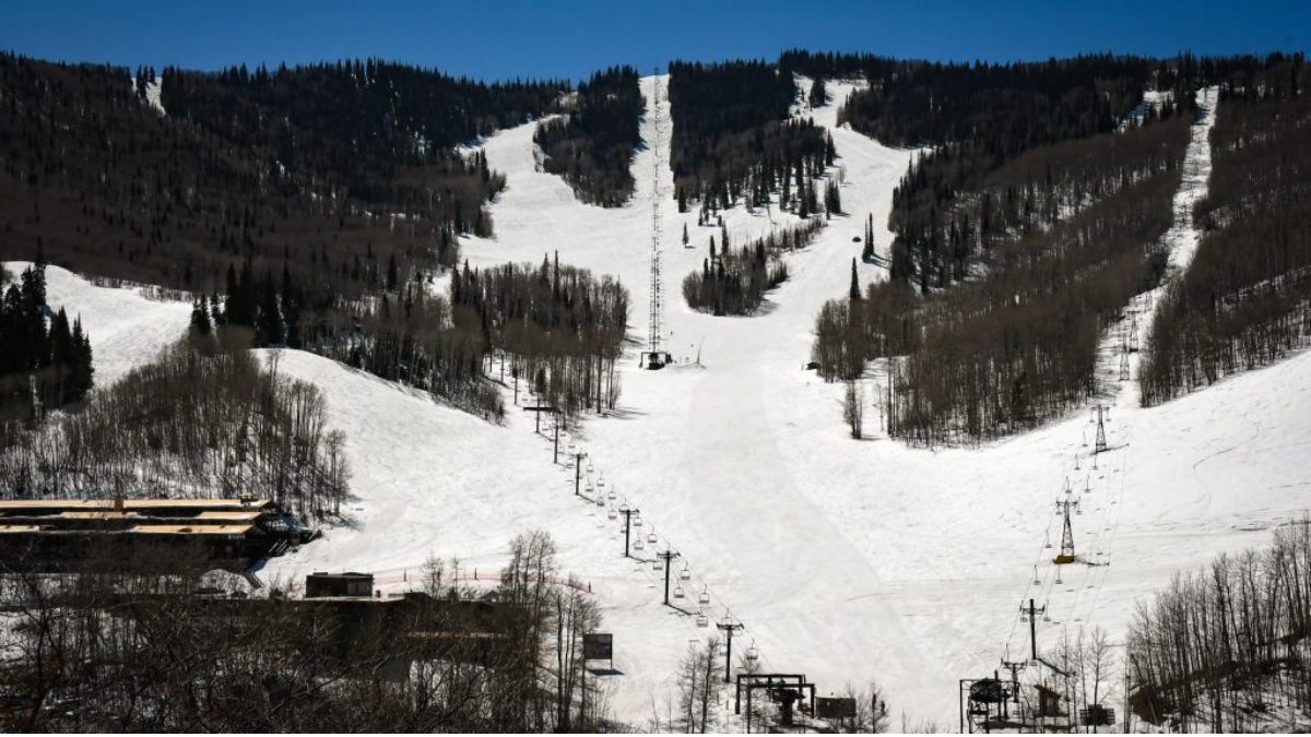
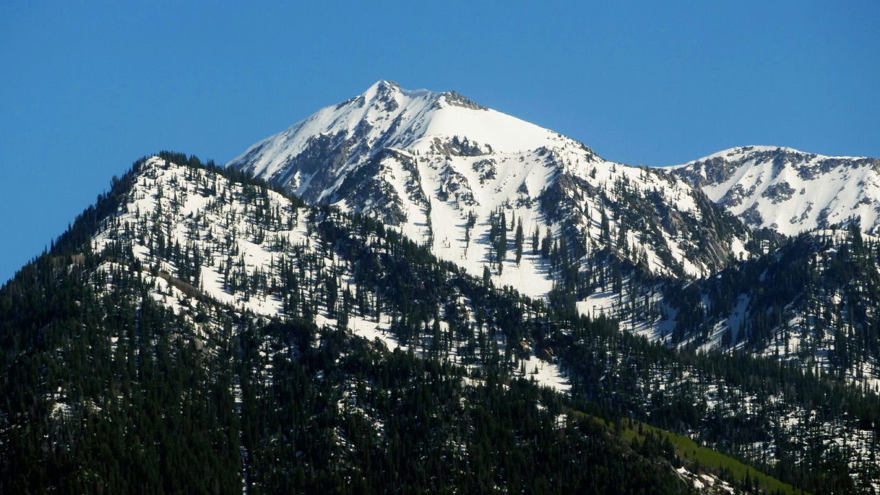
In the mountains, 2 to 6 inches of snow are expected, with potential for higher totals in isolated areas. The snow line is projected to start near 9,000 feet, then drop to about 6,000 feet toward the end of the system — though by then less moisture may remain for significant snow accumulation.
High temperatures along the Wasatch Front and in northern Utah are forecast to fall from the upper 60s / low 70s °F on Saturday to the low-to-mid 50s °F by Sunday and Monday, before rising again later in the week.
Regional Differences: South vs. North
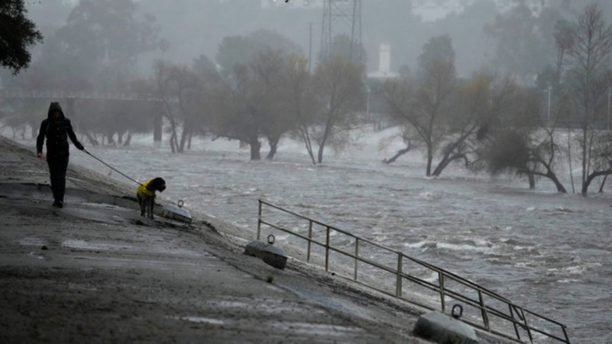
Most of Utah south of the town of Nephi is expected to remain mostly dry this weekend as the main system bypasses those areas. That said, southern Utah wasn’t totally left out — the remains of a preceding system brought beneficial rainfall to many southern communities.
For instance, Escalante recorded as much as 0.89 inches, while Parowan and Panguitch Lake each received over half an inch of rain. Meanwhile, Brian Head Resort reported 5 inches of snow from about 0.8 inches of precipitation.
In contrast, much of southern Utah is forecast to enjoy clear skies this weekend, with high temperatures hovering in the mid-70s °F, especially around areas like St. George.
In short, while this atmospheric river storm system is set to bring renewed precipitation and colder temperatures to northern Utah and mountain zones, it may not quite match the more dramatic expectations initially projected.
For those in the Wasatch Front and mountain areas, plan for rain in the valleys and snow at elevation — but don’t expect a massive deluge. Southern Utahers, on the other hand, can anticipate a largely dry and pleasant weekend.
For full 7-day forecasts across Utah, visit the KSL Weather Center.