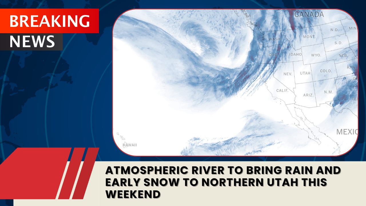
SALT LAKE CITY — A new atmospheric river moving through the western United States is set to bring rain to Utah’s valleys and snow to its mountains this weekend, though forecasts suggest the system will weaken by the time it reaches the state.
The National Weather Service has issued winter weather advisories across parts of Oregon, Washington, Idaho, and Montana, with some mountain areas expected to receive more than a foot of snow. By the time the storm drifts into Utah, however, it will have lost some of its punch — becoming, as KSL meteorologist Matt Johnson described, “mainly a northern Utah event.”
“This is a cherry on top for October,” Johnson said, noting that the month has already delivered strong precipitation totals statewide.
When to Expect the Storm
Clouds are forecast to roll into Utah on Saturday, with the system reaching northern Utah late in the day. Light rain will begin Sunday morning and intensify through the afternoon before tapering off by early Monday.
The bulk of the moisture will hit the Wasatch Front and northern mountain ranges, while most of southern Utah will stay dry.
How Much Rain and Snow to Expect
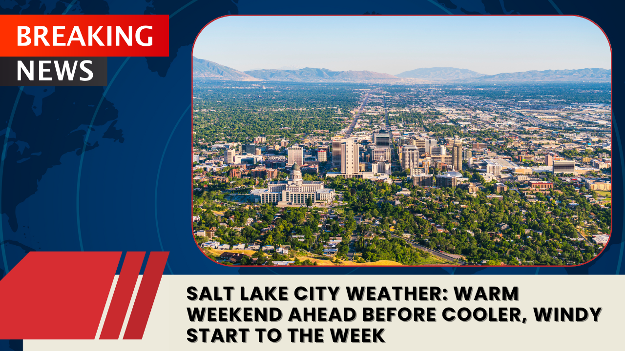
The latest weather models predict between 0.10 and 0.33 inches of rainfall for most of northern Utah, with isolated pockets approaching a half-inch. Salt Lake City, which needs only 0.05 inches more to reach 5 inches of total precipitation for the month, could hit that milestone — something that’s happened only five times since 1874.
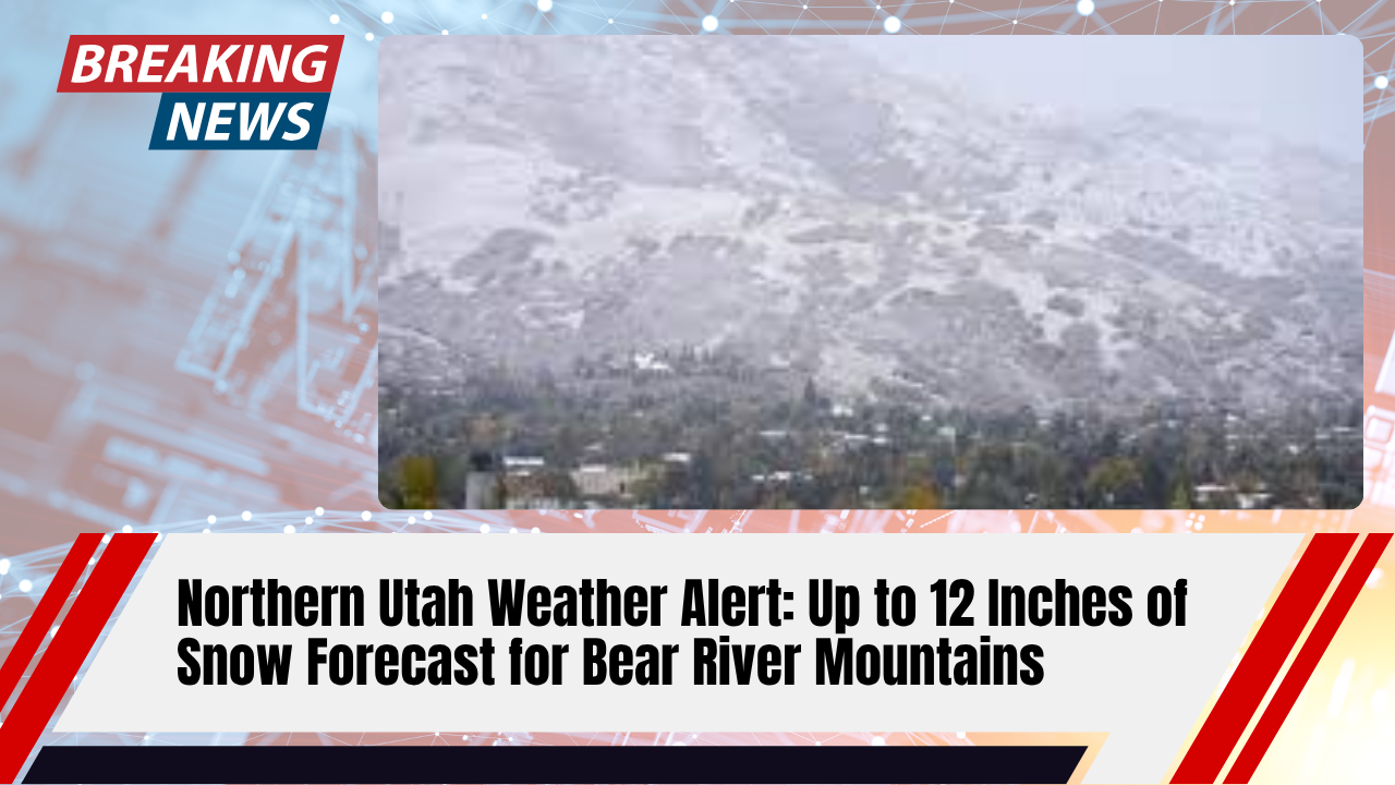
In the mountains, 2 to 6 inches of snow are likely, especially in the Wasatch Range, with snow levels starting near 9,000 feet and dropping to around 6,000 feet as temperatures fall late Sunday.
Highs are expected to dip from the upper 60s and low 70s on Saturday to the low and mid-50s by Sunday and Monday, followed by a gradual warmup midweek.
Southern Utah Stays Mostly Dry
The atmospheric river will largely bypass the southern half of the state, but communities there have already benefited from last week’s system. Escalante saw nearly 0.9 inches of rainfall, while Parowan and Panguitch Lake recorded more than a half-inch. Brian Head Resort even reported 5 inches of fresh snow, setting the stage for an early taste of winter.
For now, forecasters expect clear skies and mid-70s highs around St. George through next week, offering a calm contrast to northern Utah’s chilly, wet weekend.