A stretch of milder-than-usual February weather is setting in across Seattle, Tacoma, and much of the Pacific Northwest, with above-normal temperatures, few chances of rain, and little to no lowland snow expected from February 5 to 9.
What’s Causing the Warm, Dry Weather?
Meteorologists from the National Weather Service say a persistent high-pressure ridge along the West Coast is the main reason behind this calm pattern. This ridge is pushing the usual Pacific storm systems north into British Columbia, leaving western Washington and Oregon under warmer, drier air.
This setup means:
- Daytime temperatures will be several degrees above normal
- Cool mornings, followed by mild afternoons
- Minimal rain chances, mostly light and scattered
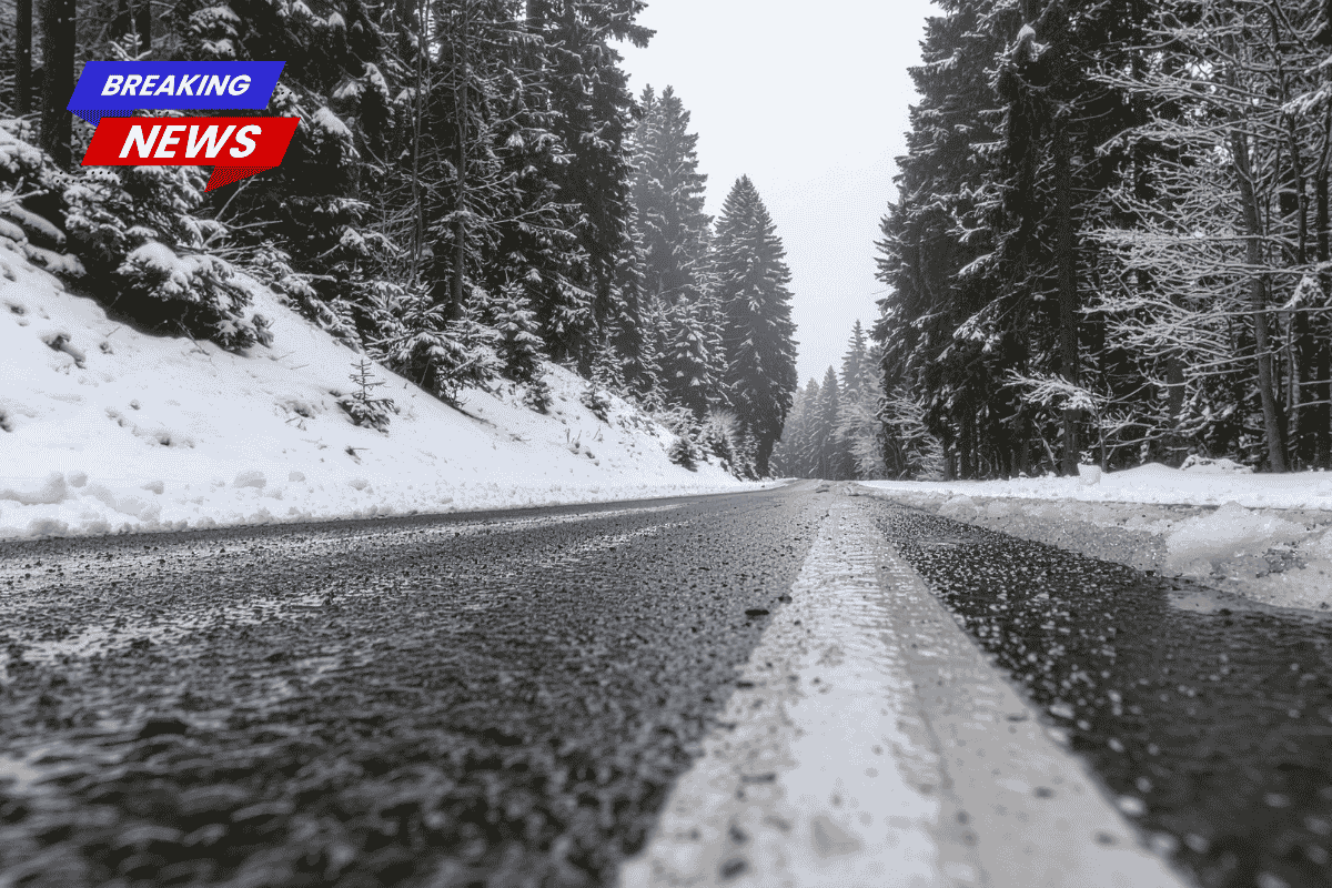
- Snow levels staying high, keeping snow out of lowland areas
How It Affects Seattle and Puget Sound Areas
In cities like Seattle and Tacoma, you can expect:
- Dry or partly cloudy days
- Some fog or clouds in the mornings
- Pleasant afternoon conditions for early February
- Elevated snow levels, so only the highest parts of the Cascades may see a bit of snow
This is a quieter, calmer stretch than usual for this time of year, when the region typically sees more frequent rainstorms and colder temperatures.
Contrast With the Rest of the U.S.
While the Pacific Northwest enjoys milder conditions, the eastern and southern U.S. have been dealing with dangerous cold waves, leading to nearly 100 temperature-related deaths in recent weeks. The West is seeing a completely different weather story.
Why Dry Winters Matter
Even though dry, sunny days in winter feel nice, meteorologists warn that extended dry stretches in the cold season can have long-term effects. The key concerns include:
- Reduced snowpack, which is vital for spring and summer water supply
- Lower reservoir levels heading into the dry season
- Possible drought concerns if the dry pattern continues too long
So while it may feel pleasant now, a balance of rain and snow is still needed to keep ecosystems and communities healthy.
Looking Ahead
This warmer, drier pattern is expected to last through February 9, with no strong signs of a return to wetter weather just yet. Forecast models suggest the storm track may stay blocked for a while longer, delaying the arrival of major rain or snow systems.