The western United States is experiencing one of its most delayed snow seasons in recent history. From Utah to California, early winter snowpack levels are well below normal, raising concerns for water supplies, ski seasons, and long term drought conditions across the region.
A Snow Season Falling Behind
New federal data shows that snow accumulation across the West is at its lowest level for early December in at least 25 years. Satellite measurements indicate that snow cover through the first week of December is the smallest since consistent regional tracking began in 2001.
According to the National Integrated Drought Information System, large portions of the West are now classified as being in a snow drought. This does not mean a lack of storms, but rather that precipitation is arriving in the form of rain instead of snow due to warmer temperatures.
By early December, snow covered just over 90,000 square miles of the western United States. That figure is nearly one third of the historical median for this time of year, a sharp departure from what mountain communities typically rely on heading into winter.
Utah Reflects a Wider Regional Pattern
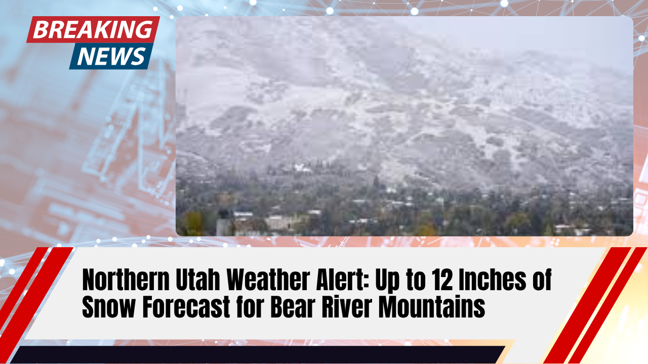
Utah’s slow start mirrors what is happening across the broader West. While some storms moved through the state earlier in the season, many arrived with mild air. October brought significant moisture, but temperatures were too warm to support widespread snowfall except at the highest elevations.
Meteorologists explain that a lack of sustained cold air over western Canada has played a major role. Without that cold air reservoir, storms entering the region are unable to produce the snowfall needed to build snowpack.
Despite Utah receiving above average precipitation overall, much of it fell as rain. As a result, the state’s snowpack currently sits at about 64 percent of its seasonal median, with several river basins still below 50 percent of normal.
Why Warm Storms Are the Core Problem
Across the West, weather patterns have favored high pressure systems and warmer Pacific storms. These systems deliver moisture but lack the cold temperatures required for snow formation.
Cold air that typically feeds winter storms has largely remained concentrated near Siberia and eastern Canada rather than moving south into the western United States. This imbalance has allowed rain to dominate areas that would normally see early season snow.
The result is a paradox: many western regions are near or above normal precipitation totals while still experiencing historically low snowpack levels.
Regions Hit Hardest So Far
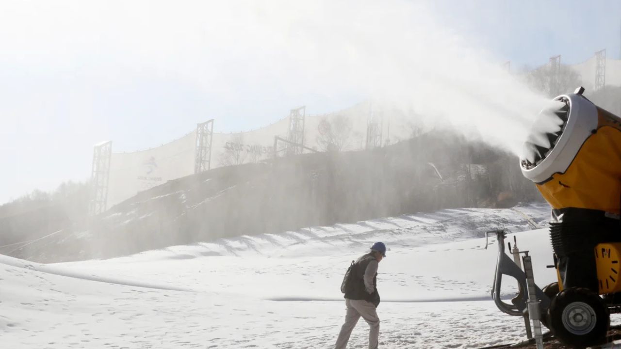
Some of the most concerning deficits are found in major mountain ranges that traditionally serve as water towers for the West. Snowpack levels in California’s Sierra Nevada, Oregon’s Cascade Range, Nevada’s Great Basin, and parts of the Pacific Northwest are hovering below 30 percent of average.
In parts of Oregon, some mountain basins entered December with virtually no measurable snowpack at all.
There are exceptions. Portions of Montana and the Northern Rockies are performing much better, with snowpack levels approaching or even exceeding seasonal averages. These pockets highlight how localized winter patterns have become.
Why Snowpack Matters More Than Ever
Snowpack provides more than half of the West’s annual water supply, according to researchers at the University of Colorado Boulder. As snow melts gradually in spring and early summer, it feeds rivers, reservoirs, farms, and cities.
When snowpack is low, water managers face tighter margins later in the year. Mountain states like Utah are especially vulnerable because communities depend heavily on consistent snowmelt to sustain water availability through dry months.
Can One Storm Change the Outlook?
Experts caution against writing off the season too early. Historically, much of the West’s snowpack is built in January and February, not December.
The National Weather Service Climate Prediction Center notes that long range models still suggest colder conditions could develop later in winter, particularly in the Pacific Northwest and Northern Rockies. If that colder air shifts south, storms moving into Utah and neighboring states could rapidly improve snowpack totals.
Meteorologists also point out that La Niña patterns often favor late season snowfall for parts of the interior West. Early indicators suggest colder systems could emerge toward the end of December.
For now, temperatures remain just warm enough to limit snow growth, but the window for recovery is still open.
A Critical Few Weeks Ahead
The coming weeks will be pivotal. If colder air settles into western North America, even a handful of well timed storms could significantly improve snow conditions before peak winter.
Until then, water managers, ski resorts, and communities across the West are watching forecasts closely, hoping winter finally settles in.
For official drought and snow monitoring updates, data is continuously updated by the National Integrated Drought Information System and regional forecasts from the National Weather Service.