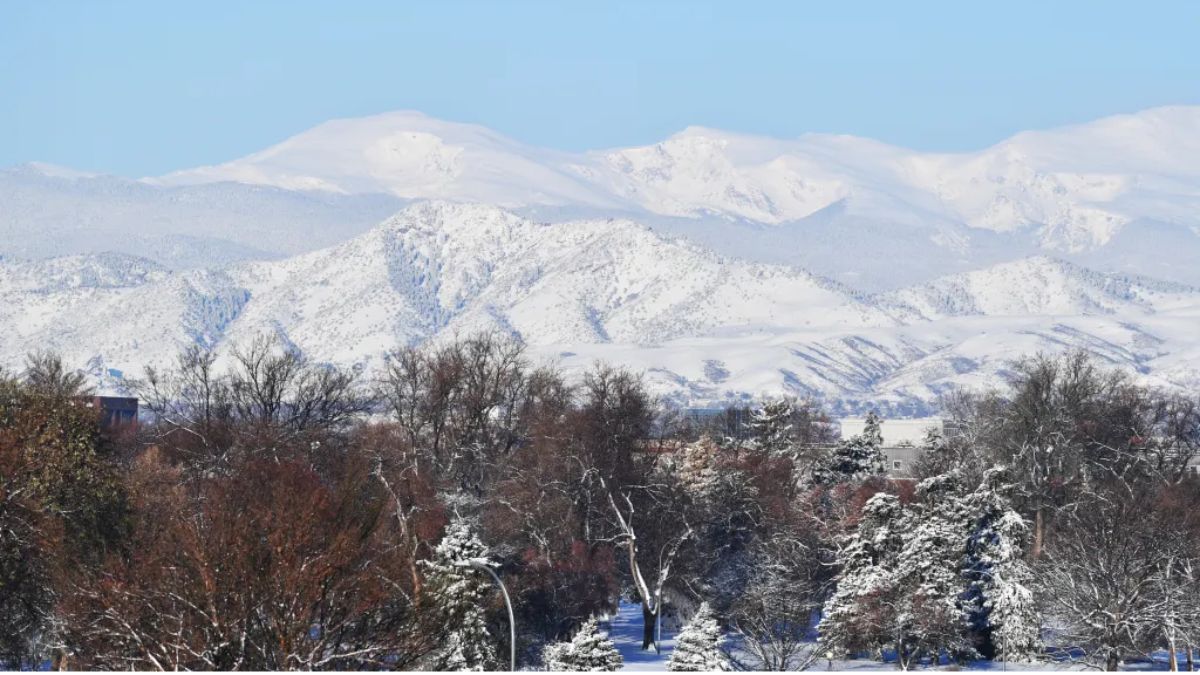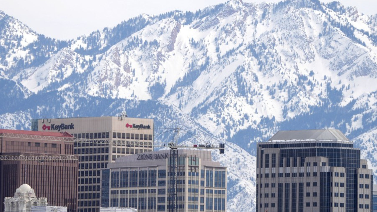
Northern Utah faces its first significant winter weather system of December as forecasters predict a mix of snow and rain arriving by midweek, bringing slick road conditions and freezing temperatures to the Wasatch Front region.
Cloud cover hangs heavily over Salt Lake City this morning as meteorologists track a weather system expected to deliver light snow and rain chances beginning late today and intensifying Tuesday night through Wednesday morning. The early December chill marks the season’s first legitimate winter preview for the metropolitan area.
Temperature Drop Triggers Mixed Precipitation
The National Weather Service in Salt Lake City expects temperatures to hover near freezing early Tuesday before climbing modestly into the low 40s during afternoon hours. A sharp evening temperature drop back below 30 degrees Fahrenheit Tuesday night could trigger a transition from rain to snow, particularly affecting evening commuters and early Wednesday morning travelers.
Accumulation forecasts remain modest, with most areas expecting less than half an inch of snow. However, meteorologists caution that even light accumulations can create hazardous driving conditions where snow briefly adheres to pavement and refreezes, particularly on bridges, overpasses, and shaded roadway sections.
Major Transportation Corridors at Risk
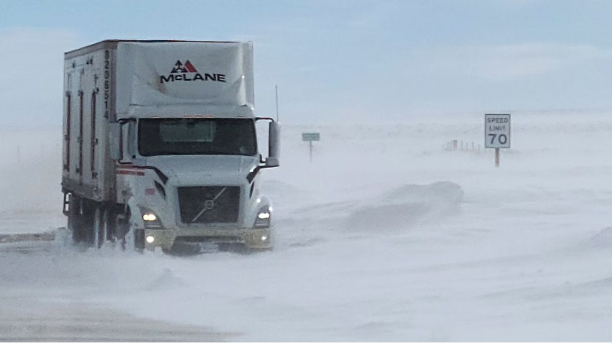
Drivers navigating Interstate 15 and Interstate 80 should remain alert for wet pavement that could quickly transform into icy surfaces, especially through canyon routes and elevated valley passages. The Utah Department of Transportation has crews prepared to respond to changing road conditions.
Weather service officials emphasize that early December snowfall often catches motorists unprepared, as many drivers haven’t yet adjusted to winter driving conditions after months of dry roads.
“Even light snow this early in December can catch drivers off guard,” the weather service stated in its forecast discussion. “Plan extra travel time and watch for black ice in shaded areas.”
Most precipitation should taper off by late Wednesday morning as drier, colder air moves across the region through Thursday. This clearing pattern will provide relief for commuters and allow road crews to address any lingering icy patches.
Extended Forecast Shows Calm Pattern
The remainder of the week appears relatively tranquil following Wednesday’s system departure. High temperatures will settle into the upper 30s to low 40s with mostly sunny skies returning Thursday and continuing into Friday.
Another weak weather system may brush the Wasatch Range from Friday into Saturday, bringing approximately a 20 percent chance of light snow showers. This system appears less organized than the midweek event and should have minimal impact on valley locations.
Five-Day Salt Lake City Weather Outlook
Tuesday: Cloudy conditions prevail with a high near 43 degrees Fahrenheit. Light rain and snow mix expected, particularly during evening hours. Low overnight near 28 degrees.
Wednesday: Partly sunny skies develop as precipitation exits the region. High temperature reaches 39 degrees with overnight low dropping to 23 degrees.
Thursday: Mostly sunny conditions return with high near 39 degrees. Overnight temperatures remain cold in the mid-20s.
Friday: Increasing clouds bring a slight chance of rain or snow showers. High temperature around 41 degrees. Precipitation probability remains low at 20 percent.
Saturday: Mostly cloudy skies continue with high near 40 degrees. Conditions remain generally dry across the Wasatch Front.
Winter Driving Safety Reminders
As winter weather patterns establish themselves across northern Utah, transportation officials remind drivers to adjust their habits for seasonal conditions:
Reduce speed when road surfaces appear wet or when temperatures hover near freezing, as these conditions frequently produce black ice that’s nearly invisible to motorists.
Maintain greater following distances behind other vehicles to allow additional stopping time on potentially slippery surfaces.
Ensure vehicles are equipped with proper winter emergency supplies including blankets, extra clothing, flashlights, phone chargers, water, and non-perishable food items.
Check current road conditions before departing by visiting the UDOT Traffic website or downloading the UDOT Traffic mobile application, which provides real-time information about crashes, construction, weather impacts, and traffic camera feeds.
Avoid passing snow plows when possible, staying at least 300 feet behind maintenance equipment to allow crews to work safely and effectively.
Looking Ahead to December Weather Patterns
This week’s winter weather preview sets the stage for December’s typical pattern of variable conditions across the Wasatch Front. While significant snow accumulations remain absent from current forecasts, the pattern shift toward colder temperatures and occasional precipitation systems signals winter’s gradual arrival.
Forecasters will continue monitoring potential weather systems that could bring more substantial snow to northern Utah ski resorts and higher elevation locations through the coming weeks. Valley locations typically see several light snow events through December before heavier snowfall becomes more common in January and February.
Residents should use this early season weather event as a reminder to prepare vehicles for winter driving, review winter safety procedures, and ensure home heating systems are functioning properly as colder temperatures become more persistent through the season.