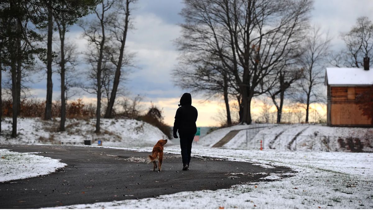
Denver’s ongoing dry weather pattern is expected to continue this week, even as Colorado’s mountain regions brace for significant snowfall beginning Sunday.
According to the National Weather Service (NWS), the high country could receive up to 10 inches of snow, while Denver remains without any measurable precipitation.
Denver on Track for One of Its Latest First Snowfalls
Despite the seasonal shift, Denver’s first snow still hasn’t arrived. With no measurable snow predicted through Tuesday, the city is expected to record one of its latest starts to winter weather based on historic NWS data.
If no snowfall occurs by Wednesday, when only a slight chance is forecast, Denver will surpass its third-latest first snow. A continued dry stretch into Friday would place this year as the second-latest snowfall on record.
Historical Context
The latest first snow ever recorded in Denver happened on December 10, 2021, according to the NWS.
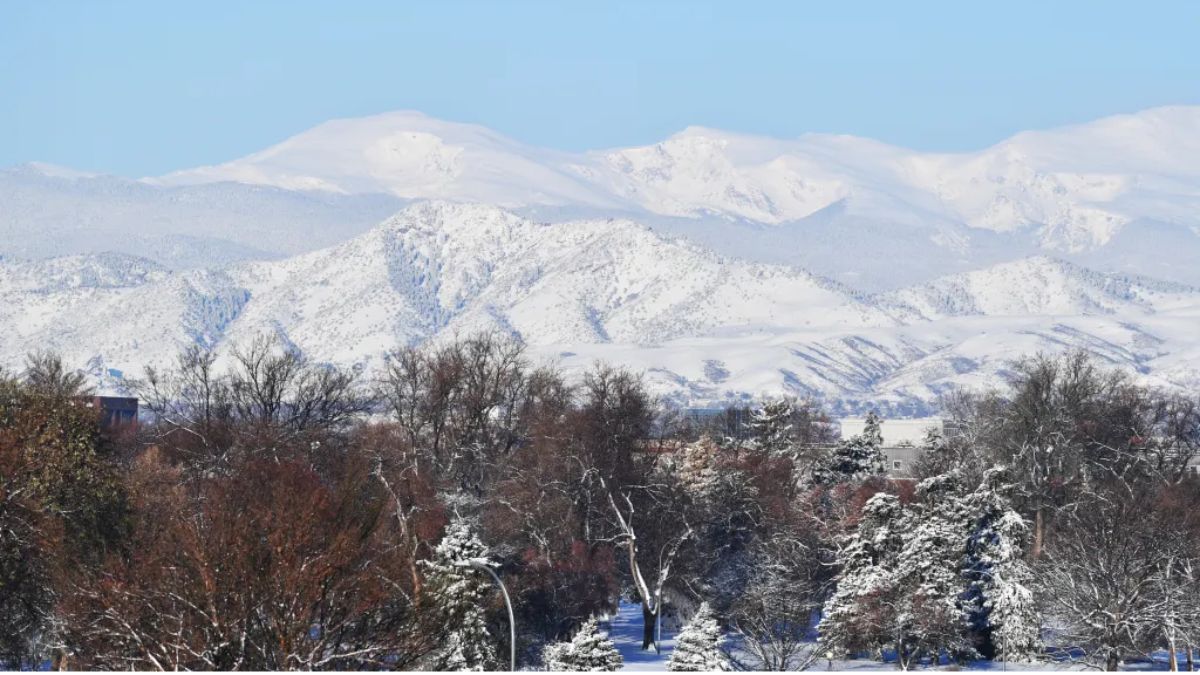
Mountain Snowfall Expected From Sunday Into Monday
While Denver stays dry, the Colorado mountains will see a dramatic shift beginning Sunday evening, with snow continuing through Monday, forecasters reported.
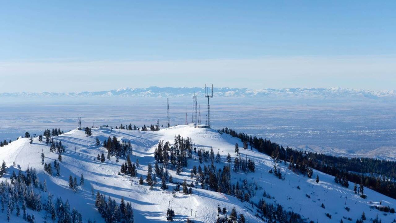
The heaviest snowfall is anticipated in the Park Range, a northern segment of the Rocky Mountains, where a winter weather advisory is now in effect.
Park Range Snowfall Totals
Forecasters say the Park Range will experience 3 to 8 inches of snow between 8 p.m. Sunday and 5 p.m. Monday.
The NWS advisory cautions that snow-covered roads will create dangerous travel conditions, especially through mountain passes, urging drivers to use caution.
Updated Local Snowfall Forecasts (as of 6 p.m. Sunday)
According to the latest projections, multiple parts of the Colorado high country are expected to receive varying snow totals:
- Up to 1 inch — Eldora, Breckenridge, Georgetown, Fraser, Dillon, Fairplay, Frisco
- Up to 2 inches — U.S. 40’s Berthoud Pass, Winter Park, Grand Lake, Keystone Ski Area Summit
- Up to 3 inches — Loveland Pass, Copper Mountain, Vail Pass, Hoosier Pass near Fairplay
- Up to 5 inches — U.S. 40’s Muddy Pass near Steamboat Springs, Colorado 125’s Willow Creek Pass near Granby
- Up to 6 inches — Milner Pass in Rocky Mountain National Park
- Up to 7 inches — U.S. 40’s Rabbit Ears Pass near Kremmling, Colorado 14’s Cameron Pass near Fort Collins
- Up to 10 inches — Mount Zirkel, the highest point in the Park Range
These totals highlight a sharp weather contrast between Denver’s ongoing dryness and the mountain region’s active winter conditions.
Strong Winds Expected Across Colorado
Alongside snowfall, winds will intensify across several parts of Colorado beginning Sunday night, including the Front Range mountains and foothills.
Forecasts indicate wind gusts between 55 mph and 75 mph, which may lead to patchy, blowing snow above 9,000 feet, further complicating travel.
Denver’s unusually late arrival of winter weather continues, setting the stage for potentially historic delays in the city’s first snowfall of the season.
Meanwhile, the Colorado mountains prepare for substantial snowfall, hazardous travel, and strong winds, signaling a clear divide between conditions in the urban plains and the high-elevation Rockies.
As winter intensifies in the mountains, travelers and residents are urged to remain aware of changing conditions and follow National Weather Service updates.