The region around Boise, Idaho has enjoyed a period of dry and mild weather thanks to a strong high-pressure system. This settled pattern is expected to hold through midweek.
However, by Friday a marked change is expected as a new weather system moves in, bringing snow at higher elevations and rain in the valleys.
Incoming System: What to Expect
According to the National Weather Service (NWS) office in Boise, a weather system pushing into the area late Thursday and Friday will raise the odds of precipitation.
In the mountain zones—such as Brundage Mountain, Tamarack and Bogus Basin—snow chances could rise to about 75% by Friday evening, with mixed rain-and-snow possible as early as Thursday afternoon.
Lower elevations—like Boise, Caldwell, Idaho and Ontario, Oregon—can expect around a 60% chance of rain by Friday.
Travel and Mountain Alerts
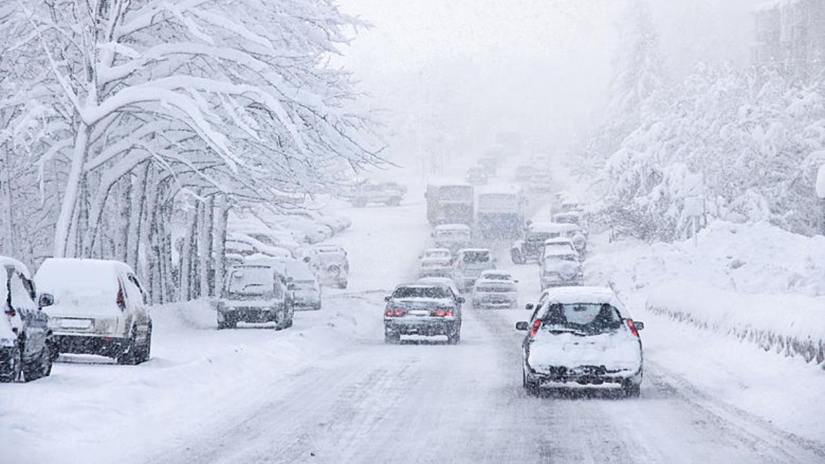
Drivers planning to head toward mountain passes such as Banner Summit or toward areas like McCall, Idaho should be alert for slick conditions late in the week, especially after Friday sunset.
Snow and ice may accumulate in the passes, and early-season ski resorts could see their first measurable snow. Residents are encouraged to watch road reports and minimise mountain travel while snow is falling.
Weekend Outlook
Precipitation chances stay elevated into Saturday morning, and colder air will linger into the weekend, suggesting chilly conditions will remain even once precipitation tapers off.
Five-Day Forecast for Boise, Idaho
| Day | Forecast | High / Low |
|---|---|---|
| Sunday | Sunny | 58 °F / 29 °F |
| Monday | Mostly clear | 60 °F / 37 °F |
| Tuesday | Partly cloudy | 59 °F / 36 °F |
| Wednesday | Increasing clouds | 61 °F / 40 °F |
| Thursday | Chance of rain late | 58 °F / 43 °F |
| Friday | Rain likely, snow possible in mountains | 54 °F / 38 °F |
The current sunny and mild pattern in and around Boise won’t hold much longer. A new system arriving late Thursday into Friday is expected to bring rain to valley areas and snow to the mountains.
Travellers in mountain regions should prepare for potentially hazardous conditions. The warm, dry spell gives way to returning precipitation and cooler air by Friday and into the weekend.


